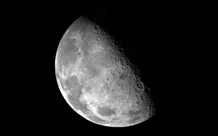
Madrid: Spanish tech firm GMV has introduced an advanced navigation system designed specifically for the moon, promising to transform the way astronauts and lunar vehicles traverse the moon’s surface. The innovative system, named LUPIN, functions similarly to Earth-based GPS and aims to simplify navigation during future lunar missions — whether for science, mining, or tourism.
Part of a broader European Space Agency initiative to develop next-generation positioning, navigation, and timing technologies, LUPIN aspires to make exploring the moon as seamless as using a smartphone app like Google Maps or Waze here on Earth.
“With this software, we bring Europe closer to establishing a presence of humans on the moon and, potentially, this would be a stepping stone towards Mars exploration or human presence on Mars,” said Steven Kay, the project’s director, in an interview with the international news agency Reuters.
Spanish technology company GMV unveiled a GPS-like navigation system for the moon that aims to make lunar missions as intuitive as a drive across the town https://t.co/9ChLry5O9K pic.twitter.com/MDrlfghfHt
— Reuters (@Reuters) May 10, 2025
GMV tested the system on the rocky terrain of Fuerteventura in Spain’s Canary Islands — a region selected for its visual and geological similarities to the moon. The field trials simulated lunar conditions to evaluate how effectively the system can provide real-time location data to lunar rovers and crewed missions.
LUPIN uses satellite signals from lunar orbit — similar to those used by GPS systems on Earth — enabling accurate real-time tracking without the need for constant communication with ground stations back home. This is a game-changer for lunar exploration, where current navigation methods are slow, complex, and dependent on Earth-based data relays.
Also Read | Pakistan Army Alleges India Fired Ballistic Missiles into Its Own Territory
“Communication depends on direct visibility with Earth or the use of relay satellites in lunar orbit, which create communicative shadow zones and latency times that hinder immediate decision-making,” GMV explained in a statement.
Navigating the moon’s surface has long been a technical challenge. Shifting lunar dust, uncharted terrain changes from meteor impacts, and limited coverage on the moon’s far side have posed significant obstacles. GMV’s solution combines existing lunar maps with data collected by orbiting satellites — particularly in hard-to-reach regions like the south pole and the perpetually shadowed far side.
Also Read | “Operation Wrath of God” for India? US Expert Calls for Global Pursuit of Terrorists
“We want these rovers to map the surface of the moon in a fast and safe way so that astronauts can return in a few years, work there and set up permanent bases,” said Mariella Graziano, GMV’s head of strategy.
As the global race to return to the moon heats up, innovations like LUPIN could play a vital role in ensuring the safety and efficiency of future missions — and possibly pave the way for human exploration of Mars.


