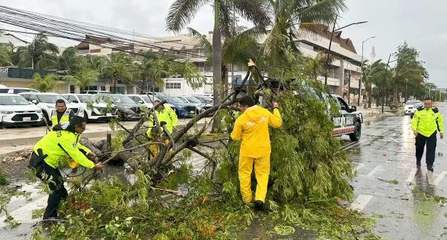
Tropical Storm Beryl, with maximum sustained winds of 65 mph, is set to intensify into a hurricane before making landfall in Texas, according to the National Hurricane Center’s 5 p.m. ET update. The storm is currently located about 130 miles south-southeast of Matagorda, Texas, and is moving north-northwest at 12 mph.
Beryl is expected to make landfall near Matagorda between Corpus Christi and Galveston just before dawn, approximately 12 hours from now. The storm is forecast to strengthen further, reaching hurricane status before hitting the coast.
Tropical storm-force winds extend 115 miles from Beryl’s center and are expected to reach the Texas coastline in the next few hours. A storm surge of 1-2 feet above normal tide levels is already affecting the Texas coast, and this is expected to increase significantly overnight. The storm surge forecast has been updated, with up to 7 feet of surge anticipated between Port O’Conner and San Luis Pass, including all of Matagorda Bay.
Latest Updates:
- Storm Surge Warning: In effect for the north entrance of the Padre Island National Seashore to Sabine Pass, including Corpus Christi Bay, Matagorda Bay, and Galveston Bay.
- Hurricane Warning: In effect for the Texas coast from Baffin Bay northward to San Luis Pass.
- Hurricane Watch: In effect for the Texas coast north of San Luis Pass to Galveston Island.
- Tropical Storm Warning: In effect for the Texas coast south of Baffin Bay to the mouth of the Rio Grande and the Texas coast north of San Luis Pass to Sabine Pass.
Preparations and Warnings:
Authorities along the Gulf Coast are preparing for Beryl’s landfall. Emergency managers are warning residents of expected power outages in areas affected by the storm. Multiple counties have issued evacuation orders for low-lying areas.
- Galveston: Closing all city facilities on Monday, with only essential employees reporting to work.
- Houston: Pre-staging crews in flood-prone areas and advising residents to stay off the roads after 10 p.m. Nonessential city employees are instructed to work from home on Monday.
Chief W. Nim Kidd of the Texas Division of Emergency Management stated that power outages are inevitable due to the hurricane-force winds. He urged residents to charge their devices and fuel their vehicles as they make final preparations, and to move any medically dependent family members to safe locations.
Safety Recommendations:
Lt. Gov. Dan Patrick advised Texans to heed evacuation orders and avoid underestimating the storm’s impact. At a Sunday briefing, he offered three key pieces of advice:
- Move Today if Required: “Today’s the day to move away from dangerous areas.”
- Get Supplies Now: “Ensure you’re prepared with essentials like water, food, and gas. Don’t wait until tomorrow.”
- Avoid Flooded Roads: “Serious flooding is expected. Do not drive through flooded areas.”
- https://x.com/upuknews1/status/1810024063471067604
Patrick also expressed concern about visitors in coastal areas who may be unaware of the approaching storm due to the holiday weekend. He emphasized the importance of staying informed and taking action to stay safe.


